🥾 Hikes & Trails
From coastal walks to the dizzying summits of Morne Seychellois.
⚠️ Times are estimated one-way (unless “loop” is mentioned). Always carry water.
🎒 The Seychelles hiker’s kit
- 💧 Water (min. 2L): Humidity makes you sweat a lot. Never underestimate thirst.
- 🦟 Mosquito repellent: Essential as soon as you enter the canopy (forest).
- 👟 Grippy shoes: Granite rocks are slippery, especially after a shower.
- ☀️ Sun protection: Even under trees, the UV index is extreme.
- 📱 Phone fully charged: Download your maps (Google Maps or Maps.me) offline.
- ⏰ Timing: Start early (before 9am) to avoid midday heat and to be back before sunset (6pm–6:30pm).
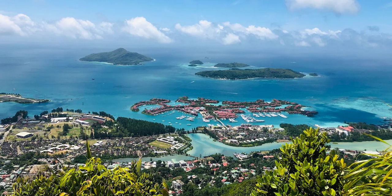
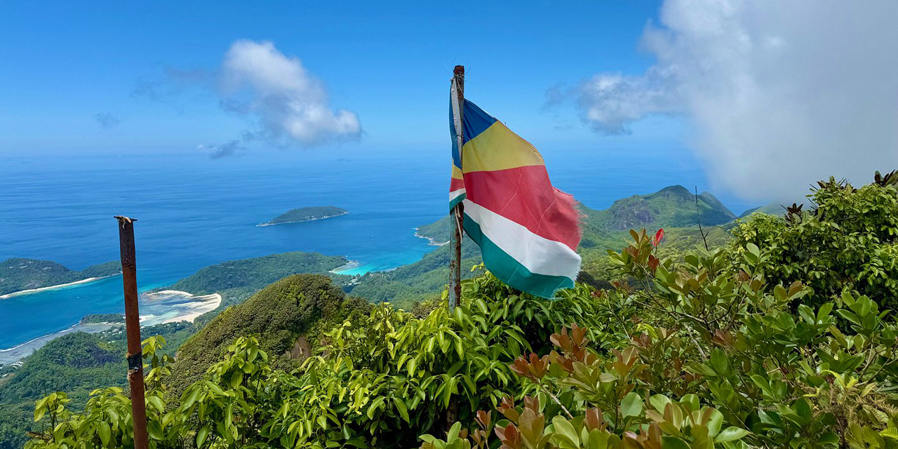
Copolia Trail
The most popular one. A rooty path leading to a granite plateau with an iconic view over Victoria. You can spot carnivorous plants.
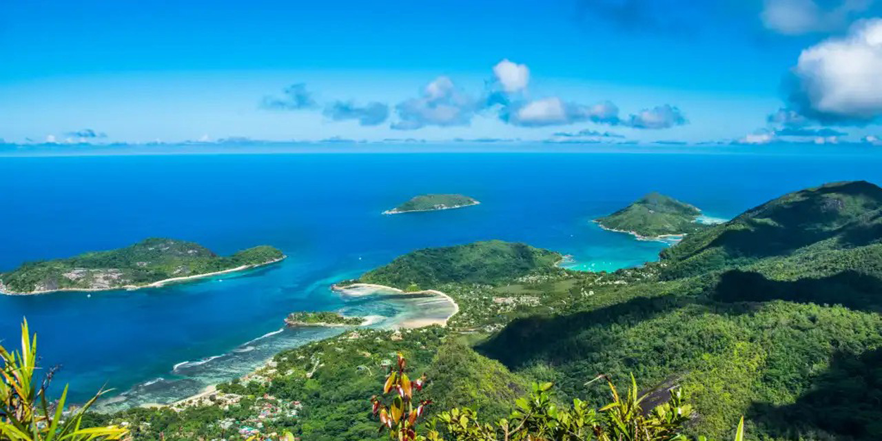
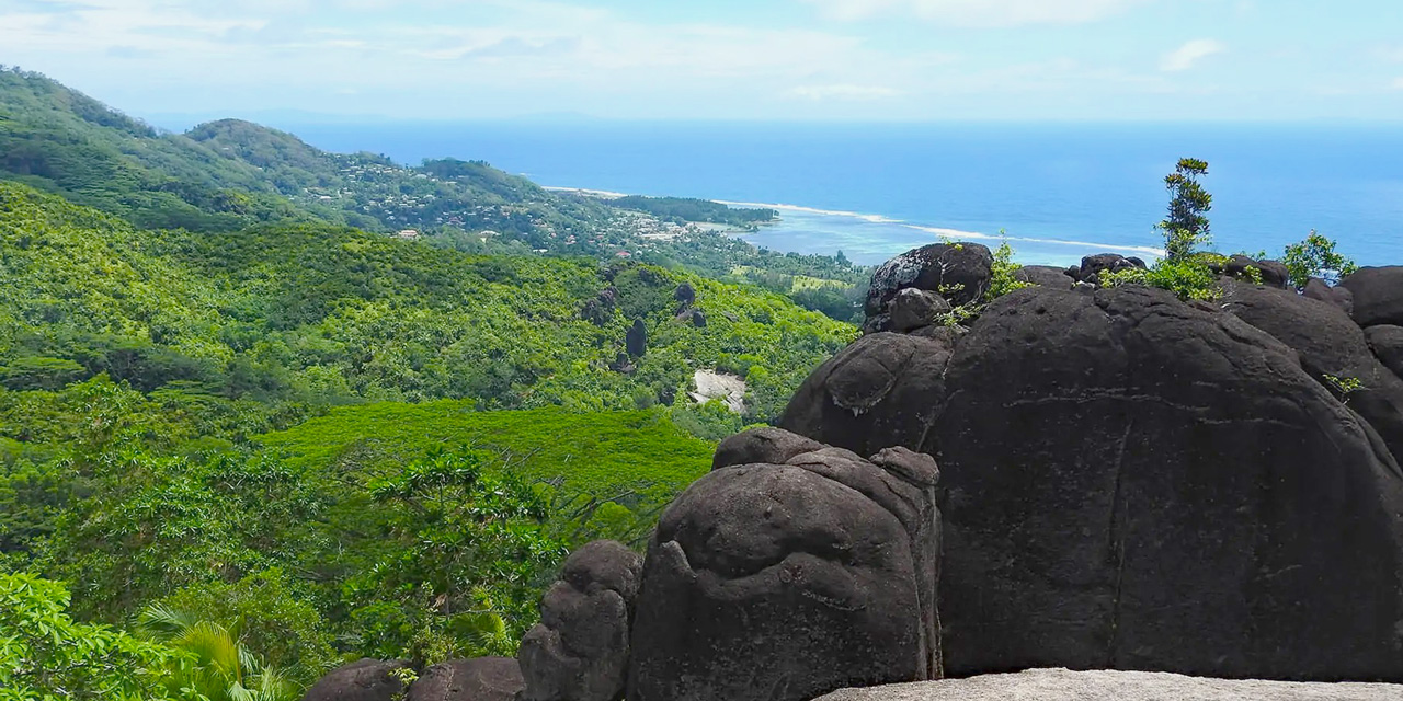
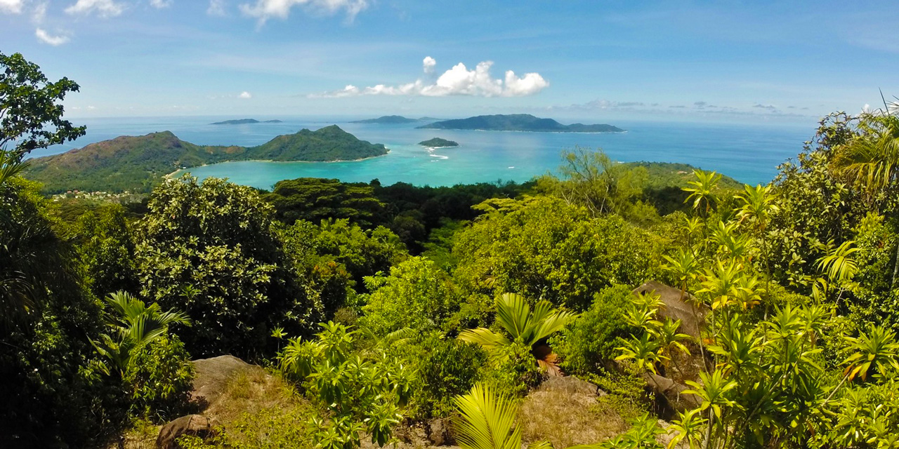
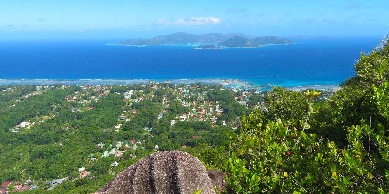
Morne Blanc
It climbs non-stop! A steep ascent through a mist forest. The summit platform offers the best view over the west coast.
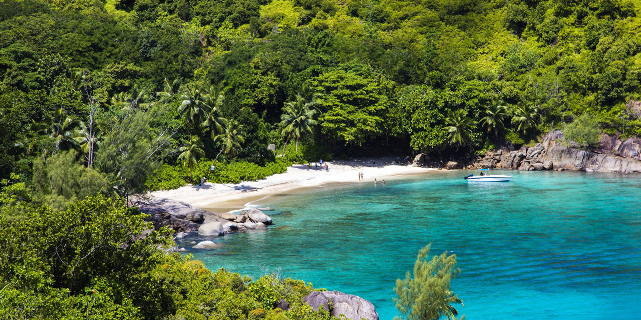
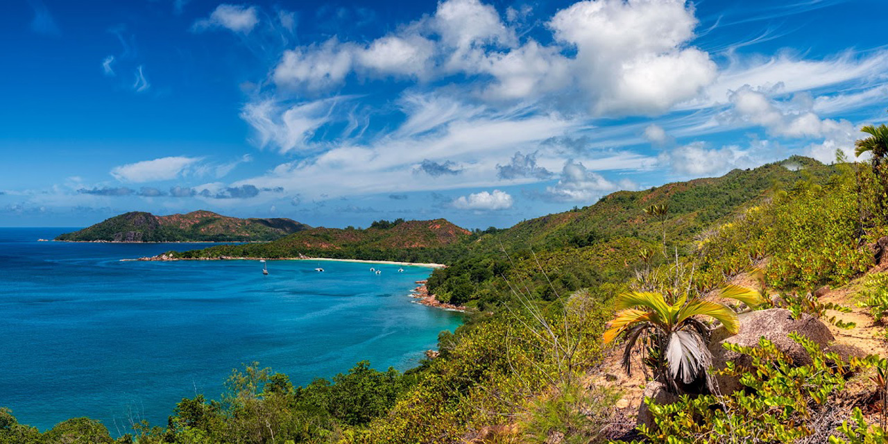
Anse Major
A coastal balcony trail with lots of sun. Little elevation gain. It ends on a stunning beach accessible only on foot or by boat.
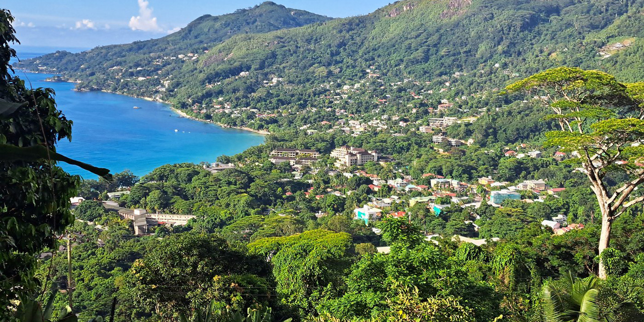
Dans Gallas
Less known but spectacular. Panoramic views over Beau Vallon and North Victoria. Well-maintained trail, but it’s a workout.
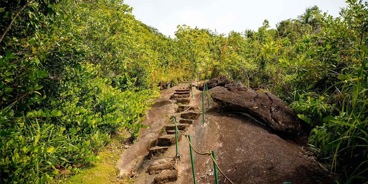
Morne Seychellois
The roof of the Seychelles (905m). Overgrown, muddy, and tricky jungle trail. A guide is mandatory to avoid getting lost.
Trois Frères
A pleasant walk to the viewpoint (shelter). Warning: do not attempt the real summit (very dangerous) beyond the shelter.
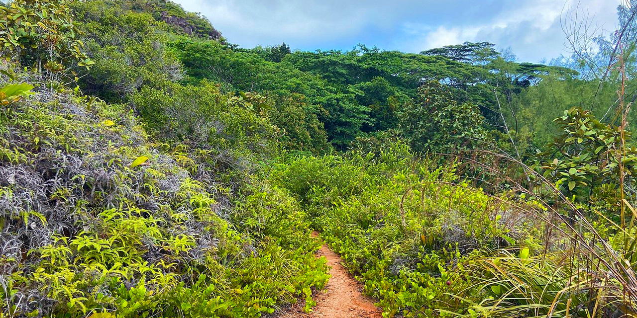
Mare aux Cochons
A long walk deep in the forest leading to a freshwater wetland. Great to see flora and fauna without too much climbing.
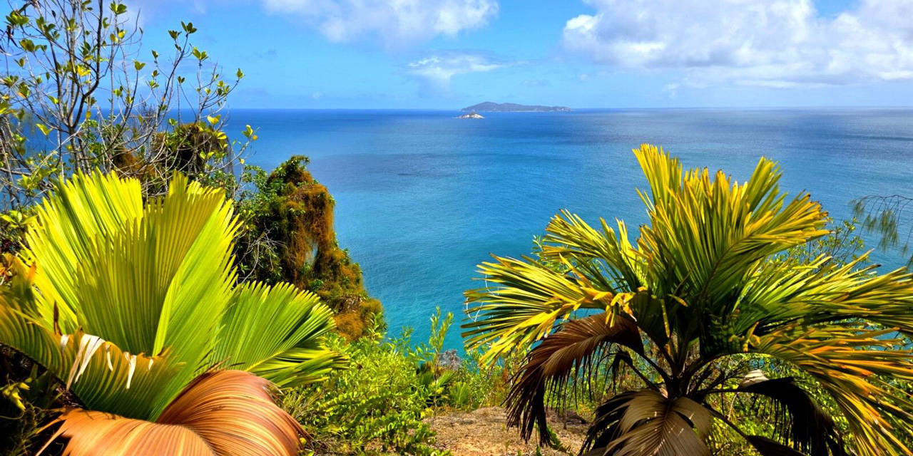
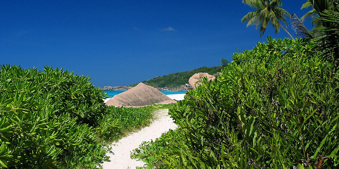
Glacis La Réserve
A short trail in the south. Walk on granite through a forest of endemic palms. Very photogenic.
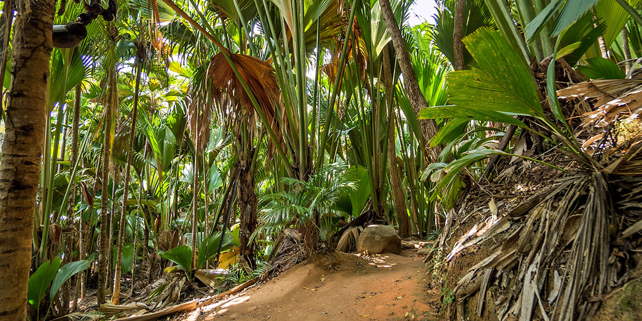
Vallée de Mai (Loops)
Several marked trails (yellow, green, red) in the heart of the Coco de Mer forest. Very well maintained, shaded paths.
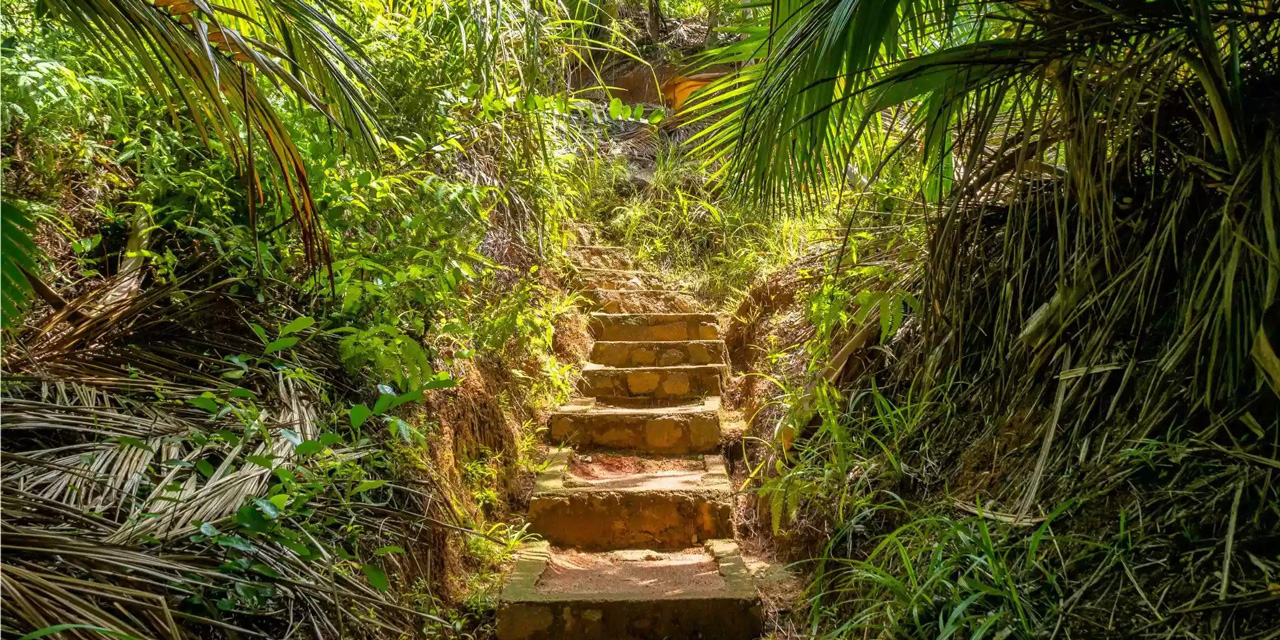
Fond Ferdinand
Lots of steps (around 700) to reach the top, but the 360° view over Praslin and La Digue is unbeatable.
Glacis Noir
Near Vallée de Mai. A free, less crowded trail leading to an old fire watchtower.
Anse Lazio (hill access)
If you don’t have a car, this trail starts from the bus terminus at Anse Boudin. An uphill paved road followed by a descent with a stunning view over turquoise water.
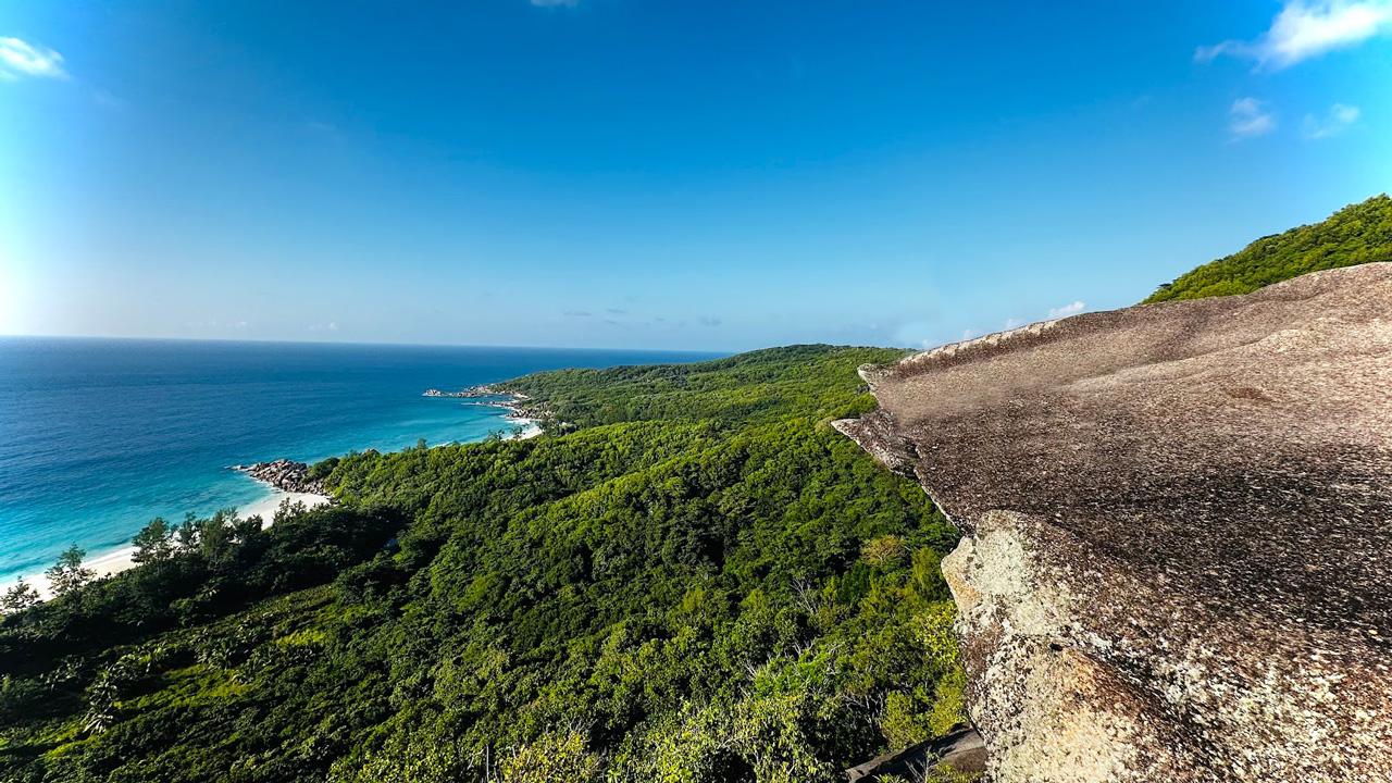
Mont Plaisir > Anse Georgette
The wild alternative to entering via the Lémuria hotel. This trail descends from the heights of Mont Plaisir through scrubland. A breathtaking view over the bay before you arrive.
Salazie & Pasquière Track
A true immersion into the heart of the island. This trail links Baie Ste Anne to the north coast. You’ll see Coco de Mer palms and many endemic birds. Ideal for botany lovers.
Nid d'Aigle
The highest point (333m). The difficulty comes from the heat and the slope. Breathtaking view at sunset.
Grand Anse > Anse Cocos
The classic one. Start from Grand Anse, cross Petite Anse, then finish at Anse Cocos’ natural pool. Little shade.
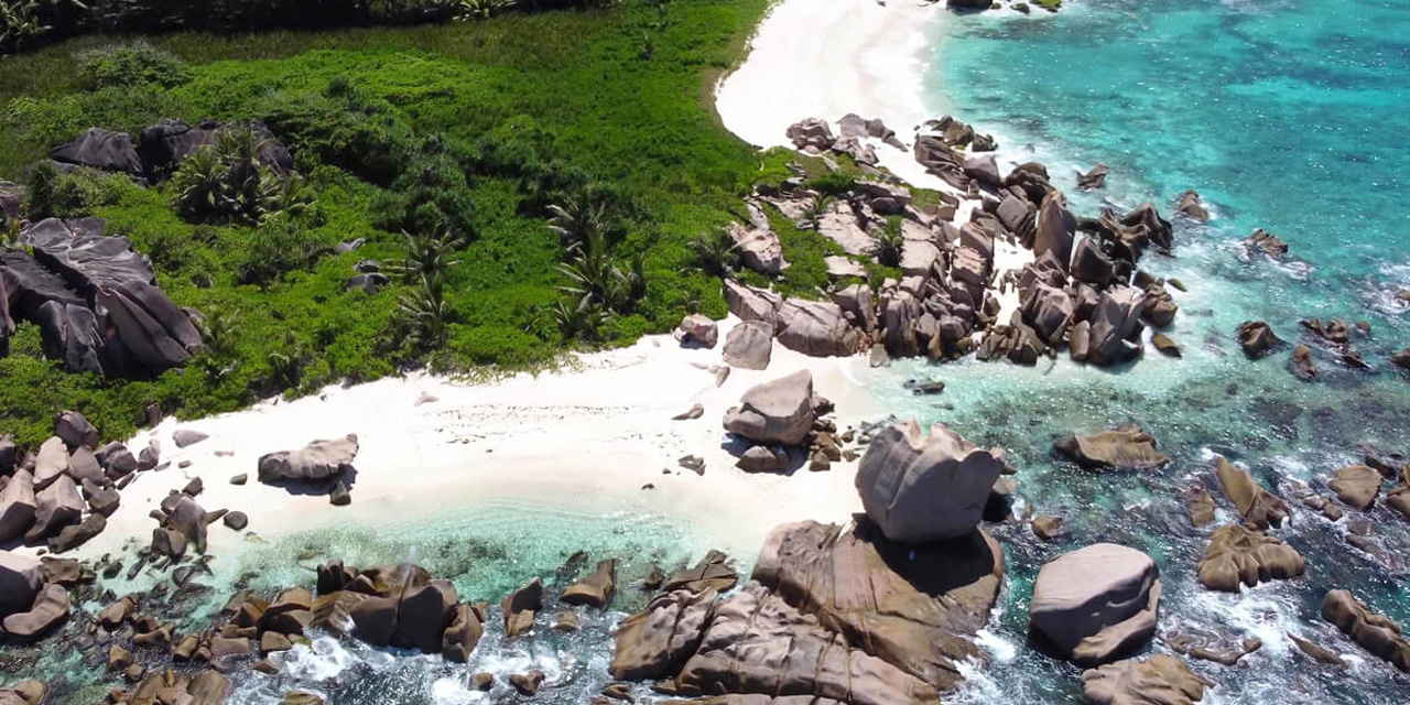
Anse Marron (Wild South)
An adventure among boulders, water and jungle. Unmarked and dangerous route (tides). A local guide is essential.
Romeo & Juliet
A detour on the way to Grand Anse. Climb a huge granite boulder for a steep view over the turquoise bays.